6 Repositories
Latest Python Libraries

High-level geospatial data visualization library for Python.
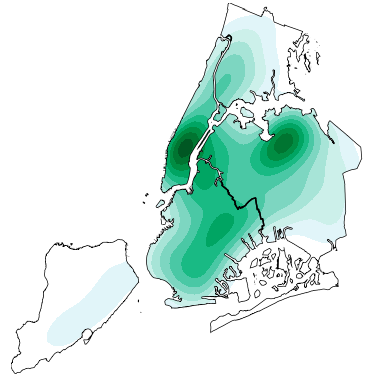
geoplot: geospatial data visualization geoplot is a high-level Python geospatial plotting library. It's an extension to cartopy and matplotlib which m
Implementation of Trajectory classes and functions built on top of GeoPandas
MovingPandas MovingPandas implements a Trajectory class and corresponding methods based on GeoPandas. Visit movingpandas.org for details! You can run

Python tools for geographic data
GeoPandas Python tools for geographic data Introduction GeoPandas is a project to add support for geographic data to pandas objects. It currently impl
gpdvega is a bridge between GeoPandas and Altair that allows to seamlessly chart geospatial data
gpdvega gpdvega is a bridge between GeoPandas a geospatial extension of Pandas and the declarative statistical visualization library Altair, which all

Spatial Interpolation Toolbox is a Python-based GUI that is able to interpolate spatial data in vector format.
Spatial Interpolation Toolbox This is the home to Spatial Interpolation Toolbox, a graphical user interface (GUI) for interpolating geographic vector
EOReader is a multi-satellite reader allowing you to open optical and SAR data.
Remote-sensing opensource python library reading optical and SAR sensors, loading and stacking bands, clouds, DEM and index.