12 Repositories
Latest Python Libraries

PyGMT - A Python interface for the Generic Mapping Tools
PyGMT A Python interface for the Generic Mapping Tools Documentation (development version) | Contact | Try Online Why PyGMT? A beautiful map is worth
Cartopy - a cartographic python library with matplotlib support
Cartopy is a Python package designed to make drawing maps for data analysis and visualisation easy. Table of contents Overview Get in touch License an

Visualize data of Vietnam's regions with interactive maps.
Plotting Vietnam Development Map This is my personal project that I use plotly to analyse and visualize data of Vietnam's regions with interactive map

Example of animated maps in matplotlib + geopandas using entire time series of congressional district maps from UCLA archive. rendered, interactive version below
Example of animated maps in matplotlib + geopandas using entire time series of congressional district maps from UCLA archive. rendered, interactive version below

Google Maps keeps old satellite imagery around for a while – this tool collects what's available for a user-specified region in the form of a GIF.
google-maps-at-88-mph The folks maintaining Google Maps regularly update the satellite imagery it serves its users, but outdated versions of the image

Python renderer for OpenStreetMap with custom icons intended to display as many map features as possible
Map Machine project consists of Python OpenStreetMap renderer: SVG map generation, SVG and PNG tile generation, Röntgen icon set: unique CC-BY 4.0 map
🌍 Create 3d-printable STLs from satellite elevation data 🌏
mapa 🌍 Create 3d-printable STLs from satellite elevation data Installation pip install mapa Usage mapa uses numpy and numba under the hood to crunch

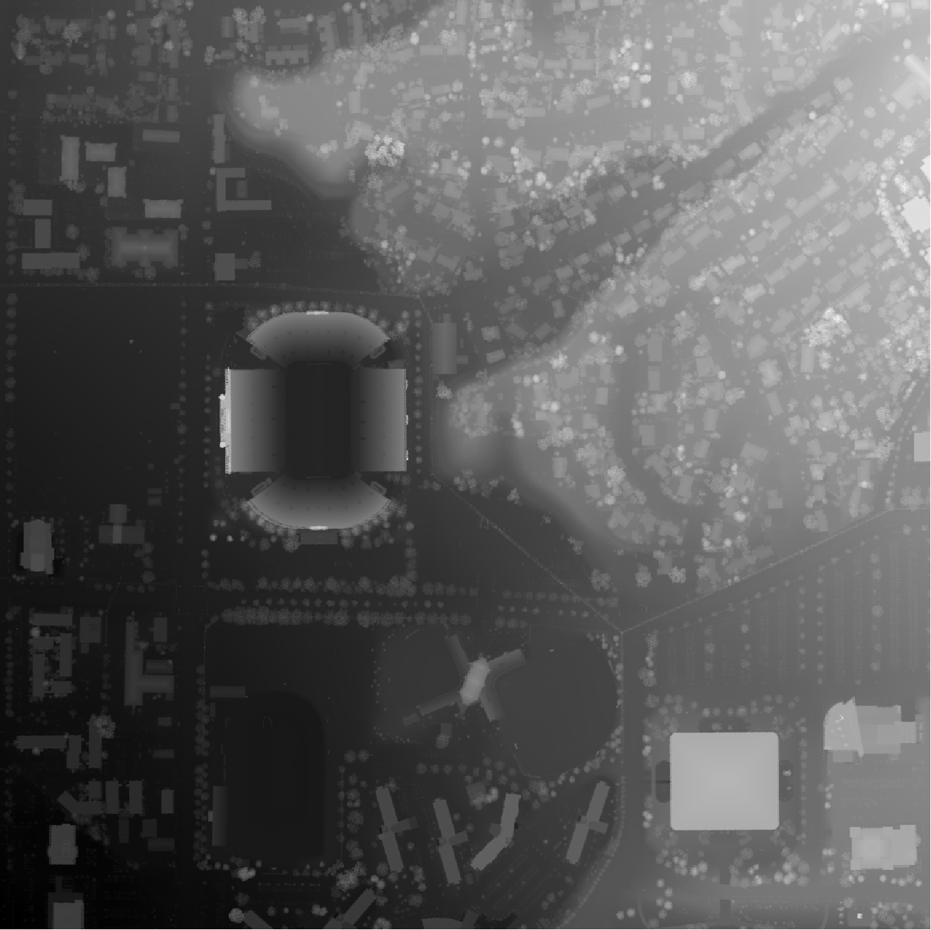
A tool for automatically generating 3D printable STLs from freely available lidar scan data.
mini-map-maker A tool for automatically generating 3D printable STLs from freely available lidar scan data. Screenshots Tutorial To use this script, g
OSMnx: Python for street networks. Retrieve, model, analyze, and visualize street networks and other spatial data from OpenStreetMap.
OSMnx OSMnx is a Python package that lets you download geospatial data from OpenStreetMap and model, project, visualize, and analyze real-world street

prettymaps - A minimal Python library to draw customized maps from OpenStreetMap data.
A small set of Python functions to draw pretty maps from OpenStreetMap data. Based on osmnx, matplotlib and shapely libraries.

Google maps for Jupyter notebooks
gmaps gmaps is a plugin for including interactive Google maps in the IPython Notebook. Let's plot a heatmap of taxi pickups in San Francisco: import g

Easy way to add GoogleMaps to Flask applications. maintainer: @getcake
Flask Google Maps Easy to use Google Maps in your Flask application requires Jinja Flask A google api key get here Contribute To contribute with the p