当前位置:网站首页>Spatial simulation model acquisition future land cover tutorial
Spatial simulation model acquisition future land cover tutorial
2022-06-24 18:40:00 【Geographical space of ruiduobao】
origin
I've been reading my previous blog these days , Turn to this one :

At that time, I didn't ask for an understanding , No deep exploration , Until I saw it YouTube There is one. up The main course of spatial prediction simulation ( In the reference website ), So it aroused my interest .
brief introduction
Spatial prediction model has the advantage of spatial simulation , Reflect position change information , Predict the distribution change of spatial pattern , It can simulate the spatiotemporal evolution process of complex systems. Such models are mainly used to determine land use / Patterns and processes of land cover change , And predict the location of future changes .
This kind of model is in time 、 Discrete grid dynamic model in space and state , Be able to deduce the utilization of excavated land from empirical data / Transition rules covering changes , It can complete a series of tasks in a complex and dynamic environment , And can adapt to and perceive changes in the environment , These features are widely used to simulate the interaction between different activities . The relevant principles of spatial prediction model can be referred to :
technology roadmap

Operation process
Image preprocessing
Data preparation
The spatial model prediction of land cover data needs to prepare land cover data for many years , Road data and DEM data .

The selected study area is Lezhi county, Ziyang City, Sichuan Province ( Yes? ** Here again ?** Because Lezhi county is my hometown , ha-ha ).
DEM The data is 30m Resolution NASA DEM, The road data is 2020 year open street map Road vector of . Land cover data is 2009 year 、2014 year 、2019 Wuhan University data set in .

The image factor can include not only the traffic distance 、dem, You can also add soil data 、 Meteorological data, etc . Here is to show , Don't delve into .
The purpose of the study is to 2009 Years and 2014 Land cover data of Lezhi county in trained spatial prediction model , get 2019 Lezhi county in Forecast land cover image , And evaluate the results .
Projection and resolution processing
Raster data processing
Use GCS_WGS_1984 Geographical coordinate system and WGS_1984_UTM_Zone_48N Projection coordinate system , Coordinate system conversion and re projection of all data :
The projection conversion of raster data uses the data frame included in the export function , And set the resolution to 30m:

Processing of vector data :
The conversion of vector data uses the projection function

After the road data is projected , The traffic distance map needs to be calculated , That is to calculate the distance from each pixel in Lezhi county to the nearest road . The Euclidean distance calculation tool is used here :

Note that the resolution is set to 30m:

And set the space processing range in the environment tool to Lezhi county :

To prevent bug, You need to set the parallel processing factor to... In the environment settings 0:

Click on the run , Get traffic distance grid :

Data clipping and pixel alignment
Use the grid clipping tool ( Data management - grid - Grid processing - tailoring ), Don't choose Mask extraction :

Yes 2009 Annual land cover 、2014 Annual land cover image 、dem Image and traffic distance image are cropped

To ensure that the number of pixels of each data is the same and to achieve pixel alignment , When cutting, you must check Crop geometry and maintain crop range . At this time, open the properties of all images , At this time, the input data are the same row and column number and resolution .

Space simulation
Tool is introduced
MOLUSCE,Methods Of Land Use Chande Evaluation, It is used for land use change assessment QGIS plug-in unit , It mainly has the following functions :
- Get time periods A( In the past ) Land use category grid 、 Period of time B( Now? ) Land use category grid and explanatory variable grid .
- Train a model to predict land use change from the past to the present .
- Use derived models 、 Land use status and current factors predict future land use changes .

model training
install qgis( Need to downgrade to 2 Series version , Do not use 3 edition ), Install the plug-in in the plug-in center .

Add land cover data and spatial impact elements ,

Click to check Geometry . The checking geometry is mainly the coordinate system of the comparison data 、 The resolution of the 、 Pixel alignment of these three contents , Be sure to follow the data processing preprocessing steps above , This step can pass the inspection . If there is no problem, you can go to the next step of prediction .

Choose check all raster, And calculate the correlation coefficient of each image factor , The choice of algorithm can be arbitrary , The algorithm I choose here is the Pearson product moment correlation coefficient :

Go to the next step , Calculate Lezhi county 2009 Year to 2014 Land change matrix in , The change image needs to be exported :

Complete the appeal steps , You can start training the model :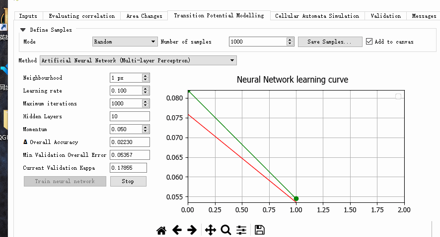
Model to predict
After data training , Can simulate the predicted image :
This simulation process takes a long time , Wait patiently :

Accuracy evaluation
When the forecast is completed , The tool can be used for accuracy evaluation :

Operation video
It is divided into two parts: image preprocessing and spatial simulation , Because my headset is noisy , I will not introduce the relevant language :
The pre processed video is as follows :
Spatial prediction simulation - Data preprocessing
The video of space simulation is as follows :
Spatial prediction simulation - Model prediction part
At the end
Because I haven't touched the field of spatial prediction simulation before , There is inevitably something wrong , Feel free to leave a comment .
View more data tutorials , have access to “ Remote sensing geoscience data collection ”:
https://www.gisrsdata.com/
Reference resources
[1] Luyuting . Land use of Hefei Based on remote sensing spatial-temporal fusion / Analysis and Simulation of land cover change [D]. Anhui University ,2019.
[2] Li Jing , Fanzemeng , Yuetianxiang . Spatiotemporal simulation of land cover in Southwest China [J]. Journal of Ecology ,2014,34(12):3266-3275.
[3]Prediction of Land Use/Land Cover Change using QGIS and ArcGIS (2010-2020-2030).https://www.youtube.com/watch?v=07_Z4JraSFc&list=PL-oOgWm8Lw-9Ck1vAmku9m1mZNACrzXz7&index=7&ab_channel=GIS%26RSSolution
边栏推荐
- UnityShader 世界坐标不随模型变化
- Bigdecimalavoiddoubleconstructorrule: do not directly use the double variable as a parameter to construct BigDecimal
- JS picture switching case
- Microservice system design -- data model and system architecture design
- SAP license: what is ERP supply chain
- Paper sharing | self supervised learning paper jointly released by Yann Lecun and read by engineers
- Leetcode daily question solution: 717 1-bit and 2-bit characters - reverse order
- 微服務系統設計——子服務項目構建
- Leetcode skimming questions - the 72nd biweekly match and 281 weekly match
- Redis series (3) - sentry highly available
猜你喜欢

Graph traversal (BFS and DFS) C language pure handwriting

Regression testing strategy for comprehensive quality assurance system

Business leaders compete for CIO roles
![[NLP] 3 papers on how Stanford team builds a better chat AI](/img/f1/1c2ff31a728152395618800600df45.jpg)
[NLP] 3 papers on how Stanford team builds a better chat AI
Ultimate Guide: comprehensive analysis of log analysis architecture of Enterprise Cloud native PAAS platform

Digital transformation informatization data planning and technology planning

Ten excellent business process automation tools for small businesses

微服务系统设计——子服务项目构建

2022 network security C module of the secondary vocational group scans the script of the surviving target aircraft (municipal, provincial and national)
![subject may not be empty [subject-empty]](/img/6b/9b57a7ed3ab086036cb6dfe0b31de4.png)
subject may not be empty [subject-empty]

随机推荐
Redis series (3) - sentry highly available
subject may not be empty [subject-empty]
Data modeling technology of Business Intelligence BI
(Video + graphics) introduction to machine learning series - Chapter 11 support vector machines
Conception de systèmes de micro - services - construction de sous - services
Get max value of a bit column - get max value of a bit column
Flutter dart regular regexp special characters $, () (IV)
Mcu-08 interrupt system and external interrupt application
JS picture display and hiding cases
"2022" plans to change jobs and raise salary. It is necessary to ask interview questions and answers - browser
Two micro service interviews where small companies suffer losses
JS picture switching case
Redis learning -- list of redis operations
Three years of bug free, tips for improving code quality
Usage of typedef enum (enumeration)
BOM(Browser Object Model)
Business based precipitation component = & gt; manage-table
Leetcode question 136 [single number]
Sudoku (easy to understand)
Leetcode topic [array] -216- combined sum III