当前位置:网站首页>GNSS terminology
GNSS terminology
2022-07-06 00:53:00 【qiuchangyong】
azimuth: azimuth
elevation: Elevation , Sometimes called altitude .
Elevation and azimuth describe the position of an object in the sky relative to the observer . This is used to describe the position of the satellite .
wgs84:WGS-84 Coordinate system (World Geodetic System One 1984 Coordinate System) It is a geocentric coordinate system adopted internationally .
altitude: Height
latitude: dimension
longitude: longitude
accuracy: Positioning accuracy
bearing: guide
About bearing Please see the following network excerpt for the explanation of .
------------------ Network excerpt start ------------------
GPS bearing is the compass direction from your current position to your intended destination. It describes the direction of a destination or object. If you're facing due north and want to move toward a building directly behind you, then the bearing would be south.
The Definition of 'Bearing'
The term predates GPS. Mathematicians were calculating bearing by hand for centuries before satellites made navigation as easy as pressing a button. Traditionally, bearing is measured in degrees and calculated clockwise from true north. It's typically represented as three figures. For example, the bearing for the direction of east is 090°.
Bearing is sometimes called "true bearing" because of its relationship to true north. In GPS navigation, bearing is sometimes referred to as the "bearing to next waypoint."
Bearing and direction are not interchangeable terms. Bearing refers to the relationship between two locations, whereas direction refers to north, east, south, and west.
Bearing in GPS Navigation
The Global Positioning System (GPS) is a network of navigational satellites operated by the U.S. Air Force. It transmits geolocation, time, and weather information to GPS receivers on Earth. The U.S. government maintains the GPS and allows free access to it.
GPS functionality has become a common feature of most smartphones and many other modern electronic devices. Thus, GPS is often used broadly in reference to devices with GPS capabilities rather than the Global Positioning System. All GPS software relies on the same underlying infrastructure, so no single GPS app is better at calculating bearing than any other.
When you enter your intended destination into a smartphone or other GPS device, the GPS antenna pinpoints where you are in relation to your destination. With that information, it can calculate your bearing or the direction you take to move toward your destination.
Your bearing is calculated to the nearest degree, and it's typically the most direct route from point A to point B. Some device maps offer alternative routes to a destination. However, your bearing would remain essentially the same because your destination is still a certain direction away from your current location, regardless of the route you take.
How Is Bearing Calculated?
Bearing is calculated as an angle measured in degrees in a clockwise direction from true north. The angle's vertex represents your current location, while the two rays point north and toward your goal destination, respectively.
You can manually calculate the bearing between two points using a map, a compass, and a protractor. However, if you know the exact latitudes and longitudes of the points in question, you can use the following formula:
β = atan2(X,Y)
Calculate X and Y as follows:
X = cos θb * sin ∆L
Y = cos θa * sin θb – sin θa * cos θb * cos ∆L
Whereas:
- L represents longitude.
- θ represents latitude.
- β is the bearing.
GPS technology allows your phone to crunch complex equations like these in an instant.
------------------ End of network excerpt ------------------
heading: Go to , The way forward . And bearing difference , For example , A navigation track , From the beginning to the end bearing, And the direction of travel along the tangent slope of a certain point in the trajectory is heading, in other words heading It changes instantly .
边栏推荐
- cf:D. Insert a Progression【关于数组中的插入 + 绝对值的性质 + 贪心一头一尾最值】
- Set data real-time update during MDK debug
- [groovy] compile time meta programming (compile time method interception | method interception in myasttransformation visit method)
- Recoverable fuse characteristic test
- Promise
- Spark AQE
- Idea remotely submits spark tasks to the yarn cluster
- An understanding of & array names
- 测试/开发程序员的成长路线,全局思考问题的问题......
- For a deadline, the IT fellow graduated from Tsinghua suddenly died on the toilet
猜你喜欢
如何制作自己的機器人

KDD 2022 | 脑电AI助力癫痫疾病诊断
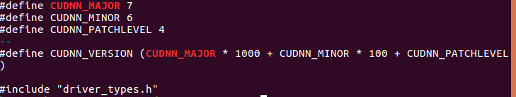
Ubantu check cudnn and CUDA versions
Four commonly used techniques for anti aliasing
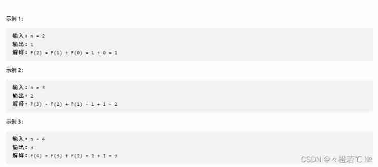
Fibonacci number
Uniapp development, packaged as H5 and deployed to the server

Intensive learning weekly, issue 52: depth cuprl, distspectrl & double deep q-network
Convert binary search tree into cumulative tree (reverse middle order traversal)
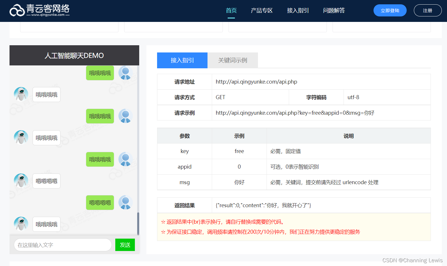
Free chat robot API
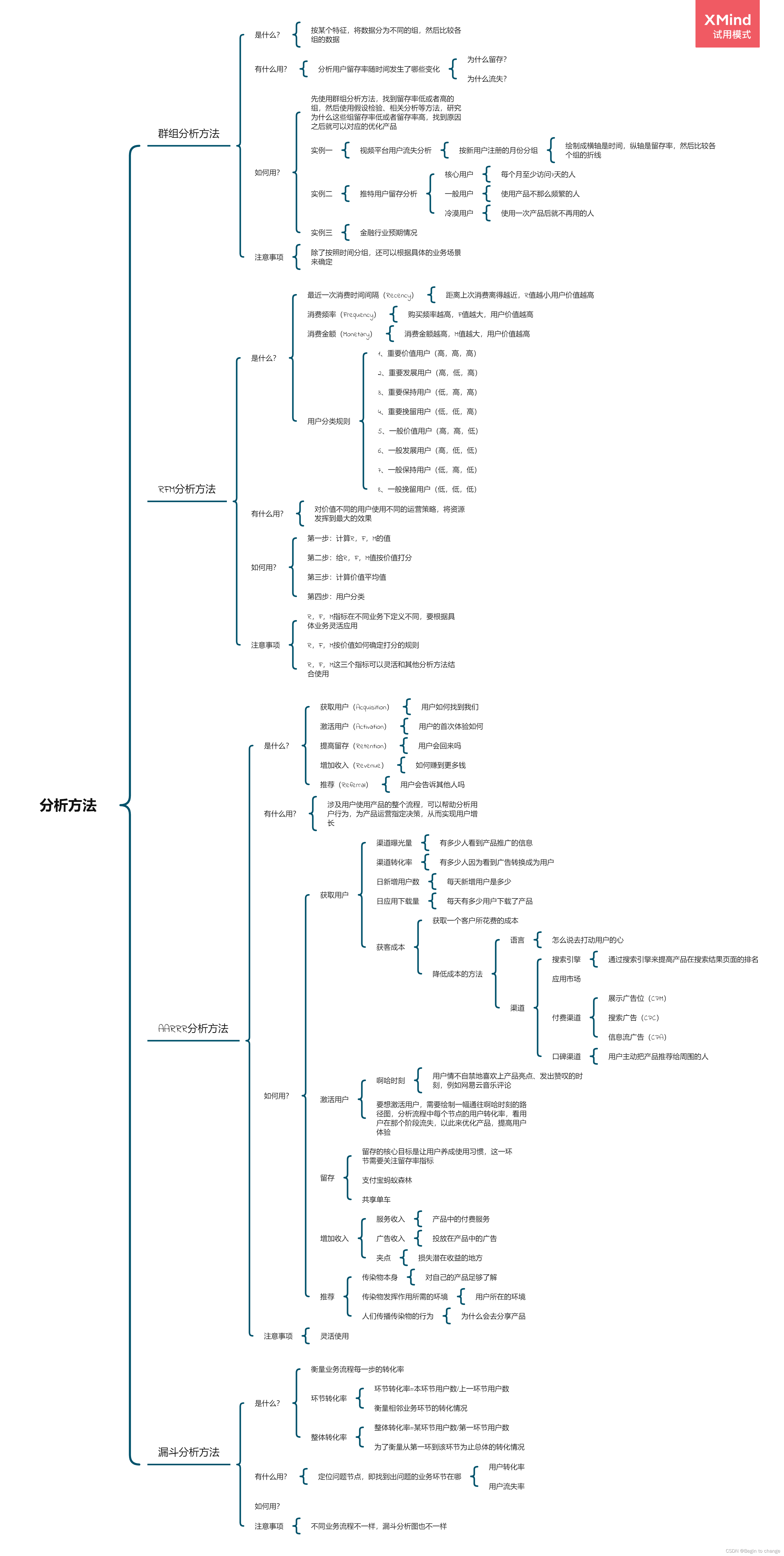
数据分析思维分析方法和业务知识——分析方法(三)
随机推荐
Four dimensional matrix, flip (including mirror image), rotation, world coordinates and local coordinates
[groovy] XML serialization (use markupbuilder to generate XML data | create sub tags under tag closures | use markupbuilderhelper to add XML comments)
[Online gadgets] a collection of online gadgets that will be used in the development process
2020.2.13
Yolov5, pychar, Anaconda environment installation
How to use the flutter framework to develop and run small programs
如何制作自己的机器人
DD's command
[groovy] compile time meta programming (compile time method interception | method interception in myasttransformation visit method)
Mobilenet series (5): use pytorch to build mobilenetv3 and learn and train based on migration
ADS-NPU芯片架构设计的五大挑战
[groovy] compile time metaprogramming (compile time method injection | method injection using buildfromspec, buildfromstring, buildfromcode)
Promise
The third season of ape table school is about to launch, opening a new vision for developers under the wave of going to sea
MIT博士论文 | 使用神经符号学习的鲁棒可靠智能系统
95后CV工程师晒出工资单,狠补了这个,真香...
Power query data format conversion, Split Merge extraction, delete duplicates, delete errors, transpose and reverse, perspective and reverse perspective
MobileNet系列(5):使用pytorch搭建MobileNetV3并基于迁移学习训练
Idea remotely submits spark tasks to the yarn cluster
Arduino六足机器人